01
Layout & stakeout
From plan to ground. We set design coordinates on site for industrial builds, civil works, steel, anchors, columns, gridlines and penetrations.
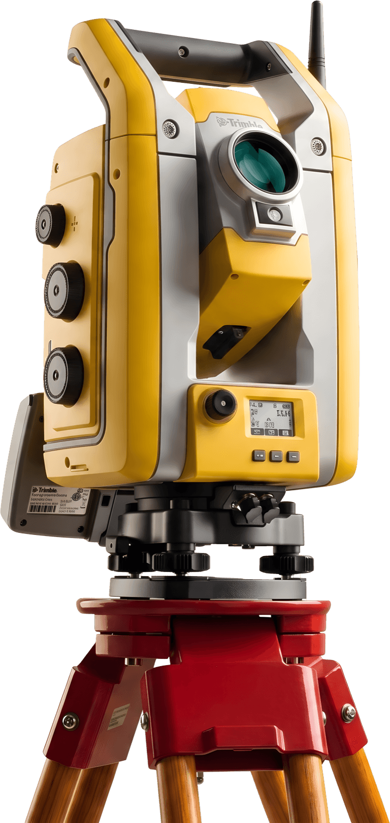
High accuracy · Trimble S5 + TSC7 · Eindhoven
Precision surveying & geomatics for construction. Stakeout, concrete slabs, steel, civil works and as-builts — measured once, measured right.
What we measure
From plan to ground. We set design coordinates on site for industrial builds, civil works, steel, anchors, columns, gridlines and penetrations.
FF/FL surveys for concrete slabs before and after the pour, with clear output for high spots, low spots and next steps.
Independent checks of what was actually built versus what was drawn, with a clear report for the record.
Field work
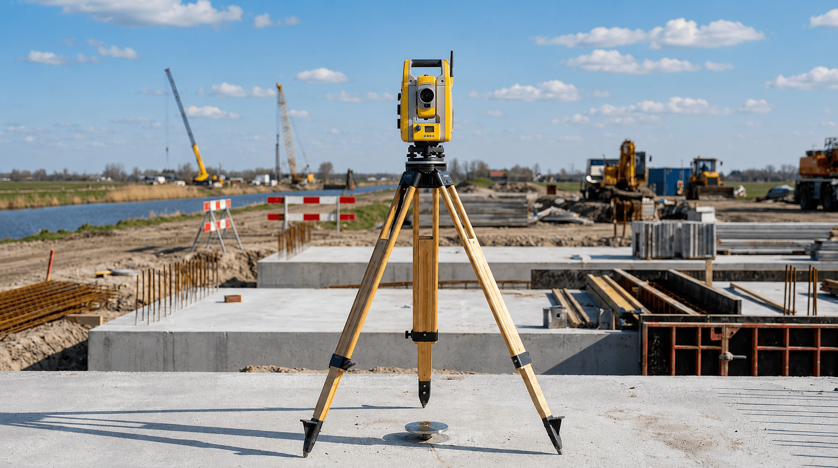
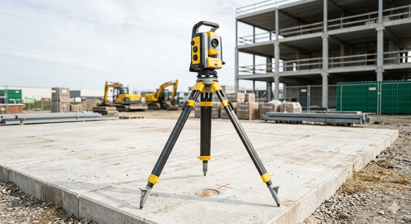
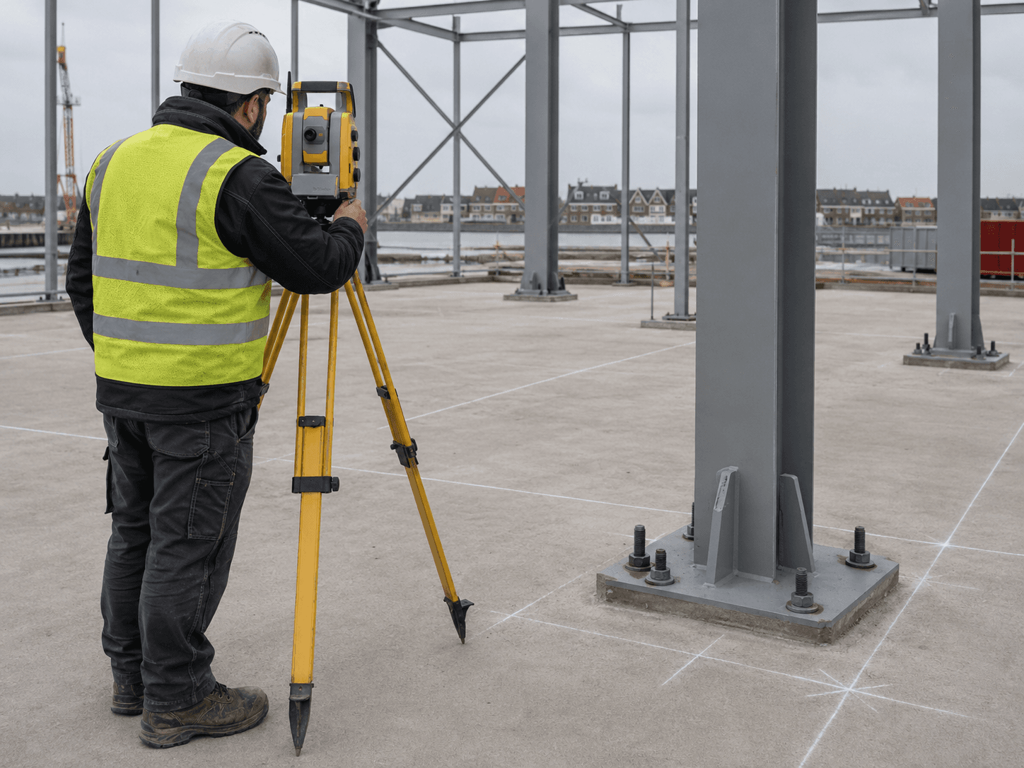
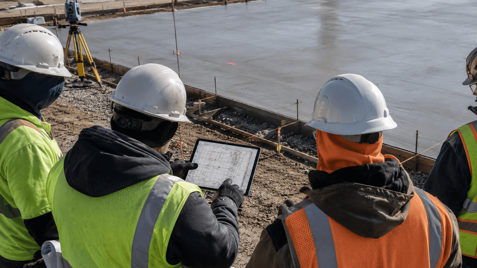
On the deck, ahead of the crew, in the weather. The instrument does the measuring — showing up prepared is what keeps your schedule.
Floor flatness
We turn elevation shots into a readable FF/FL package — heat maps, deviation limits, and repair zones your site team can act on before the next trade is waiting.
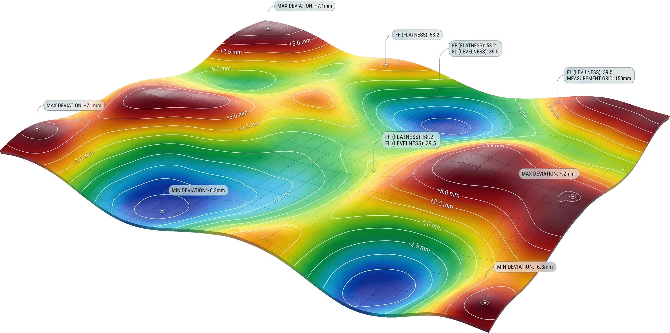
FIG 03Floor-flatness output · deviation map
How we work
We establish the control network on site — the known points everything else is measured from.
Trimble S5 total-station fieldwork with a TSC7 controller, capturing the points that matter to the build.
Raw coordinates become FF/FL values, deviation tables and heatmaps, checked against your spec.
A decision-ready report in your inbox, usually within 24 hours of leaving site.
The deliverable
You get a decision-ready report: heatmaps, deviation tables, and a clear pass/fail against your spec — the document your client, your engineer and your concrete crew can all act on.
Project references are handled with client details removed.
Request a quote
Send us your plans and site date — we'll come back with a fixed quote within one working day.